
Kurodake Průvodce po středisku
Statistiky svahů
1550m
880m
670m
- Akry sjezdovek:-
- Sjezdovky:2
- Zasněžování:-
- U-rampy:No
- Snowparky:-
- Běžecké trasy:-
- začátečník70%
- průměrné20%
- pokročilé10%

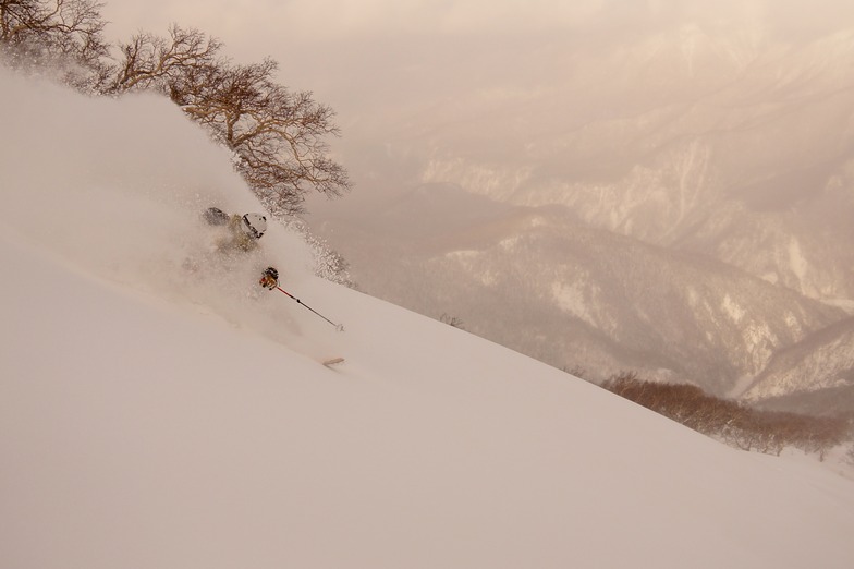
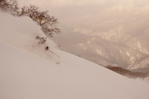
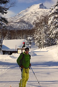
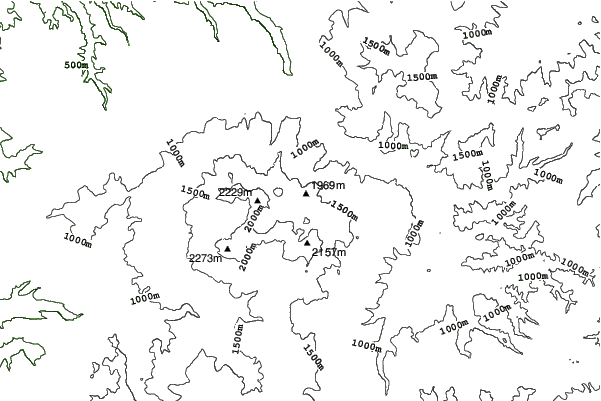
Kurodake (meaning Black Mountain) rises up above Sounkyo town in north central Hokkaido. The area forms part of the Daisetsuzan National park and is home to Hokkaido's tallest mountains. Along with skiers, the resort area also attracts a large number of sightseers who visit to see the impressive Sounkyo gorge, spectacular mountain scenery and the town's annual winter ice festival. The ski area only has two lifts; the first is the Kurodake ropeway which ascends approximately 600m above the valley floor up to 1300m. This is the steepest and most heavily forested portion of the mountain but if you look for it, there are some incredible lines to be had through this zone. There is one semi-marked run from the top of the ropeway to the valley but it is not groomed. Route finding can be difficult as there are many unmarked hazards, no avalanche control and no ski patrol. If you choose to ride the ropeway, please ride with caution and select your route carefully. Above the ropeway, there is a short, double chairlift which ascends a much lower angle slope than the ropeway up to 1560m and offers two groomed piste runs along with access to a mellow powder bowl. Given the nature of this resort, everything outside of its 2 groomed pistes should be considered backcountry terrain and treated with the appropriate respect. If you are uncomfortable accepting these risks on your own, please contact one of the local guiding companies to help you safely explore the area.
Cestovat
- Nejbližší letiště:-
- Nejbližší stanice vlaku:Kamikawa
- Telefon na turistické info::+81 / 1658 / 53031
- Webová stránka turistického centra:www.rinyu.co.jp/
- Ubytování u sjezdovky:-
 -
- -
-
Vleky

- Zahájení sezóny:28 Nov 2026
- Konec sezóny:9 May 2027
- Lifts:2 (1 cable car, 1 chairlift)
 1
1 1
1
Oznámení & novinky od vedoucího střediska Kurodake
Připoj se do našeho programu správců střediska
Black Mountain Lodge opening party Nov. 21-23.
Nejnovější sněhové zpravodajstvízobrazit plné sněhové zpravodajství
- vydáno:15 Jul
- Poslední sněžení:—
- Hloubka sněhu (horní):0cm
- Hloubka sněhu (spodní):0cm
- Sjezdovka:—
- Mimo sjezdovku:—
Dnešní počasí (1110 m)zobrazit plnou sněhovou předpověď
| odp. | 14 °C | F-Level 4250 m | ||
| noc | 13 °C | F-Level 4150 m | ||
| dop. | 16 °C | F-Level 4100 m |
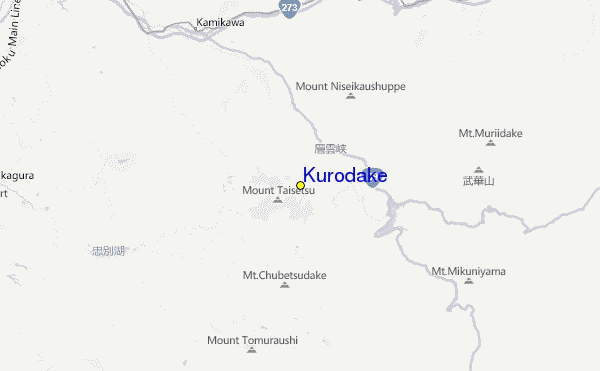
Střediska poblíž k Kurodake zahrnují:
- Asahidake 10km
- Shirogane Ski Highland Parkhill Valley 33km
- Biei Chomin 39km
- Pippu 42km
- Nukabira Onsen 43km
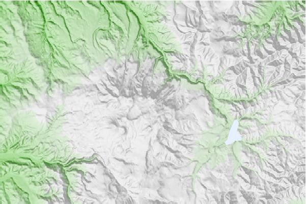
Mapy lokace Kurodake
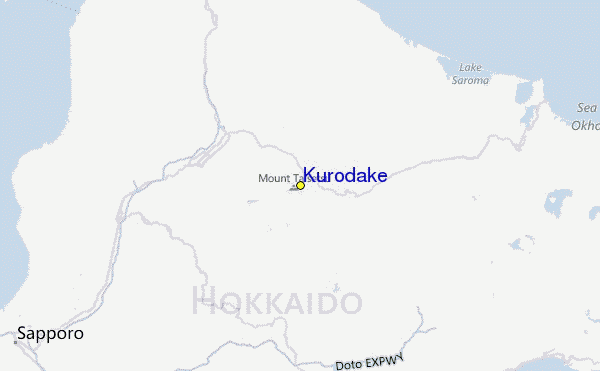

(Podívejte se také na detailní Meteo mapu okolí Kurodake, která Vám umožní vizuální shrnutí současných a nastávajících sněhových podmínek)
Návštěvnické hodnocení střediska Kurodake
 Předpověď pro město
nejblíže k Kurodake
- Asahikawa, Japan44km
- Shimo-furano, Japan57km
- Fukagawa, Japan70km
- Kitami, Japan81km
- Mombetsu, Japan81km
 Surfové spoty
nejblíže k Kurodake
- Livadia, Russia835km
- Gornostay, Russia882km
- Patrokl, Russia887km
- Choshi, Japan906km
- Katagai, Japan931km
 Vrcholy hor
v blízkosti Kurodake
- Mount Eboshi, Japan1km
- Mount Keigetsu, Japan1km
- Mount Kuro, Japan1km
- Mount Aka (Daisetsuzan), Japan2km
- Mount Goshiki, Japan2km
Střediska a horské vrcholy obklopující Kurodake
 Nearest